
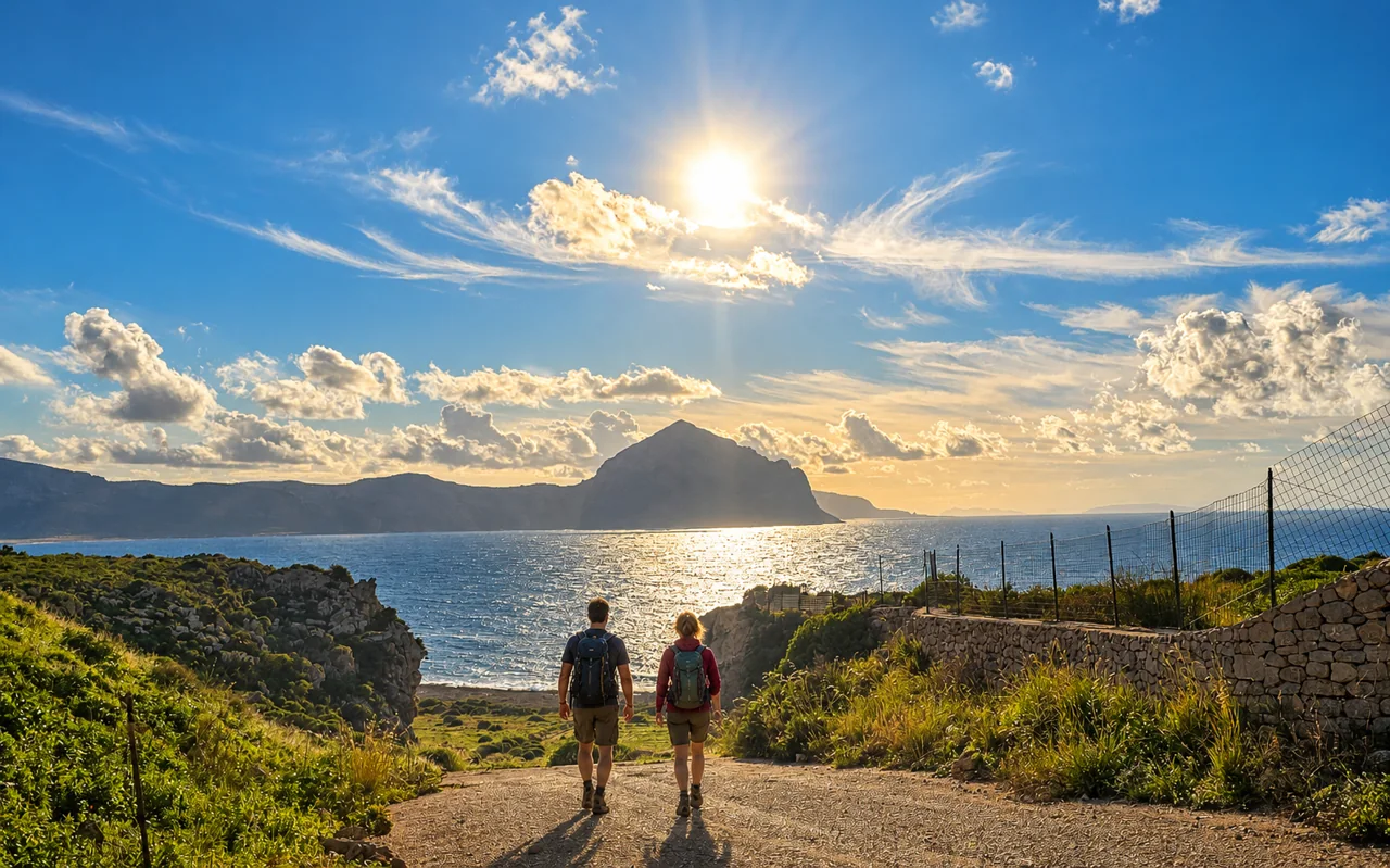
A summit walk, a coastal crossing or a route through rural settlements: choose the landscape, then match the plan to your energy. Find starting points, published distances, indicative times and maps below.
01 / THE VIEW FROM ABOVE
Monte Monaco
The mountain at the eastern end of the bay offers views over the village and both sides of the peninsula. The destination is the summit cross; the western route starts on Strada Comunale Mondello behind San Vito.
- Summit elevation
- 530 m
- Uphill route
- Around 3 km
- Indicative time
- 1 hr 30 up + 1 hr down, excluding stops
- Effort
- Moderate; uphill on natural ground, exposed to the sun
The eastern approach is separate, from the SP63, identified as CAI trail 609. Choose your approach before setting off: descending the opposite side requires a return plan to your starting point. It is not automatically a loop.
02 / TRAIL AND COVES
Zingaro: the coastal trail
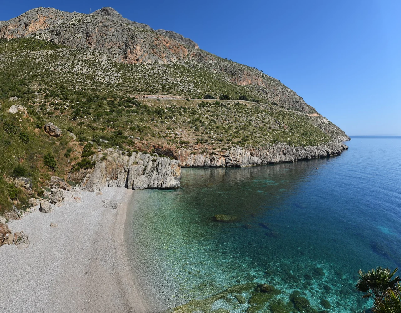
The trail links the south entrance near Scopello with the north entrance near San Vito, passing headlands and the Uzzo area, with descents to permitted coves. If staying in San Vito, starting at the north entrance avoids driving around to Scopello.
- Published distance
- Around 7 km, one way
- Manager’s indicative time
- Around 2 hours, one way without stops
- Out and back
- Around 14 km; allow extra time for heat, undulations and swims
- Terrain
- Natural trail, stony sections and descents to coves
You do not need to cross the entire reserve: enter from the north, choose an accessible cove and return along the same path. For a full crossing, arrange transport from the opposite entrance beforehand; do not assume an internal shuttle exists.
03 / THE RURAL LANDSCAPE
Zingaro: mid-level trail and Borgo Cusenza
For walkers who want to climb above the coves into the reserve’s interior. The manager’s route links Tonnarella dell’Uzzo, Torre dell’Uzzo, Marinella, Sughero, Borgo Cusenza and Casa Forestale through the rural landscape.
- Published route length
- Around 7.5 km
- Indicative time
- 3 hours for the described route, excluding stops
- Starting area
- Northern side / Tonnarella dell’Uzzo area
- Plan ahead
- Return route and ascent on the map; this is not a shoreline stroll
For a complete circuit, check links to the coastal trail and ask at the entrance which branches are open. Wells and troughs are not a drinking-water supply.
Open the mid-level trail description ↗04 / THE MOUNTAIN BY THE SEA
Monte Cofano: choosing a coastal section
The headland separates the Custonaci coast from the Gulf of Macari. For a coastal walk, locate Frassino, Torre di San Giovanni and Tonnara di Cofano on the map: they are different landmarks, not one parking area. Choose your entrance and turnaround point in advance.
A summit ascent and a coastal walk have different demands. Do not judge the route by the mountain’s height alone. Use the manager’s map to distinguish sections and check closures; the complete circuit should not be assumed open.
Find your bearings: west coast, village and Zingaro
Macari and Castelluzzo face west towards the Gulf of Monte Cofano. San Vito’s beach fronts the village; Tonnara del Secco and Zingaro lie on the other side of the peninsula.
The interactive map is provided by OpenStreetMap and loads only when you press the button. The provider will receive your IP address and technical request data.
Open the map in a new tab ↗Save the map before heading out. A map does not replace opening notices or signs; not every marked line represents a route currently open.
Before setting off: plan the whole walk
- Allow for the return, not just reaching the viewpoint or cove. Add breaks and a margin before entrance closing times.
- Wear shoes with good grip; bring water for the full outing, a hat, sun protection and an offline map. In hot months, start early and avoid midday heat.
- With children, consider terrain, ascent and heat: short does not automatically mean easy. Published times are walking estimates, not swimming or visiting time.
- Tell someone your route and return time. If booking a guide, agree the itinerary, difficulty and activity qualifications beforehand. In an emergency call 112 and give your location and situation.
Public Archive of the Municipality of San Vito Lo Capo · SanVitoVirtual, created by Francesco Ferla.
Route sources
Reviewed: 29 October 2026. Times and distances are indicative figures from the linked descriptions. Recheck route and access conditions for the day of your walk.